SYCAMORE provides digital aerial photo and automatic mapping systems, leveraging unique expertise in mapping, photogrammetry, electro-optics and computer vision. SYCAMORE has innovative solutions for image acquisition and data processing in situ.
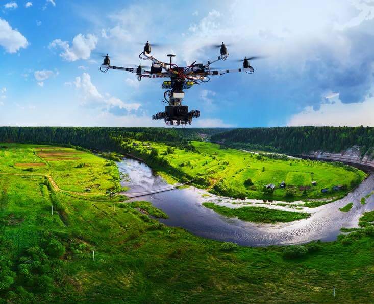
Sycamore uses drones as platforms to save our client time, money, and to make the process much more efficient. Sycamore turnaround time is typically just a few days, with data acquisition being completed in a matter of hours.